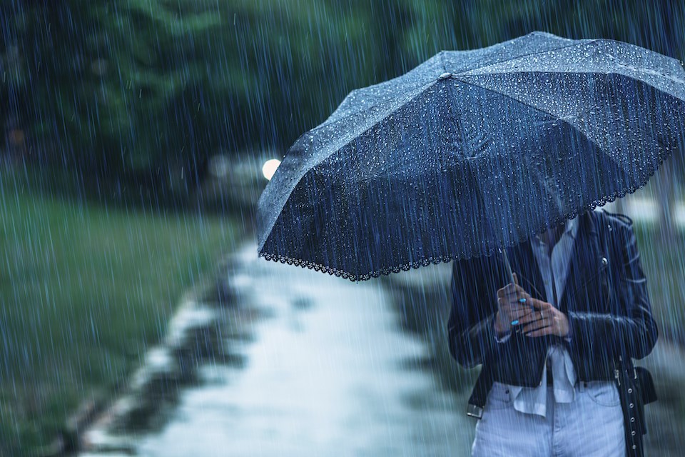
Another atmospheric river is slated to drench the south B.C. coast with moisture following a sunny break.
Environment Canada Meteorologist Armel Castellan tells V.I.A. that a closed low-pressure system will move into the Lower Mainland overnight Wednesday, Dec. 18, bringing significant rainfall to the region.
The storm has subtropical origins and is considered an atmospheric river but impacts areas south of Metro Vancouver, including Washington and Oregon, harder.
"It is the type of atmospheric river that is beneficial to the environment," he says, adding that it shouldn't cause major flooding or last over 24 hours. "We aren't expecting to issue a rainfall warning."
Environment Canada must anticipate rainfall of 50 mm in 24 hours to issue a warning.
"We are expecting 40 to 50 mm of rainfall but amounts might cross the 50 mm threshold," he notes, adding that the West Vancouver and North Vancouver may see significantly higher amounts.
The highest rainfall rates are expected midday Thursday, with up to four to five milimetres falling hourly across the Lower Mainland. These rates are commensurate with amounts experienced during the atmospheric river overnight Tuesday.
Metro Vancouver weather forecast
Castellan says the "fairly widespread" wet weather event saw similar rainfall totals across the region. The Vancouver Harbour station received just under 54 mm of rain in 24 hours, Vancouver International Airport (YVR) received 55 mm, West Vancouver received 57 mm, and the Tsawwassen area in Delta received 55 mm.
"This time [the most intense rates] will be during the early afternoon and into the evening instead of overnight,' he highlighted, adding more people may be impacted by the stormy conditions.
Friday morning's forecast includes another reprieve from back-to-back stormy weather but another system should move into the region overnight.
"There will be another pulse of wet weather and then on Saturday midday yet another storm cycle," he says. "It will also be short in duration [under 24 hours] but sweeping back to back into another one Sunday evening."
Castellan reminds drivers to exercise caution travelling on B.C.'s highways to places outside of the Lower Mainland.
"There were extensive motor vehicle incidents on the Coquihalla on Tuesday night [with the storm]. What you leave the city with is not what you'll encounter in the mountain passes," he cautions.
Stay up-to-date with hyperlocal forecasts across 50 neighbourhoods in the Lower Mainland with V.I.A.'s Weatherhood.


