Thunder and lightning are possible for Metro Vancouver over the next two days.
While it might not be as dramatic as this weekend's storm show was, Environment Canada meteorologist Armell Castellan tells V.I.A. that "the risk of thunderstorms certainly exists" across the region.
"We're likely to see some activity in the whole south coast," he says."But I don't think it's going to be as widespread."
Over the weekend there was a "proper electrical storm" with hundreds of lightning strikes, he adds. Over the next two days there may be some, or none.
"The risk is there, the ingredients are there, but [it's] not as dramatic," Castellan says.
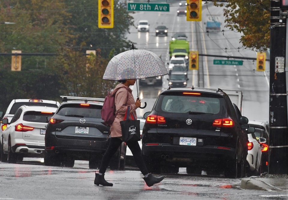
Showers through Wednesday are also likely.
How much rain will Metro Vancouver see this week?
For Tuesday, rainfall is more likely in the southern areas, like Delta, while on Wednesday it'll shift to West Vancouver and North Vancouver.
However, it'll be hit and miss throughout the region.
"I don't think it'll be an incredible amount," says Castellan of the potential rainfall in the Metro Vancouver forecast. "At the top end, 10 mm. Someone might get unlucky."
Most people might only see trace precipitation or a couple of millimetres, but some neighbourhoods may get hit with more.
"Thundershowers are so small a neighbourhood could get a good little dousing and then everyone else could be pretty dry by comparison," he says.
While Vancouver is affected by a system off Oregon right now, a second system will begin to impact the region later Wednesday, but Castellan says models are still uncertain with how much it'll do.
"We have a low pressure system slinking down from the Alaska panhandle; it will start to affect the North Shore Mountains and Howe Sound in the afternoon."
He notes the system should hold near Texada Island, but it could shift further south.
"The forecasting is somewhat challenging now," Castellan adds.
It's Augtober, which is a lot like Juneuary
Throughout all of this, though, highs should be in the low 20s, though it may feel cooler after weeks in the mid-20s and when showers are falling.
"These temperatures are also a couple degrees cooler; it certainly feels like 'Augtober' or 'Juneary,'" the meteorologist notes.
By Thursday, the region should see a dry spell beginning with a slight chance of showers earlier in the day, and then sunny skies through to Sunday.
"There'll be a nicer stretch to cap off the week," Castellan adds.
However, by Sunday things are uncertain.
"We have a lot to decipher in the models come Sunday and early next week," he explains, noting that the Canadian weather model is an outlier right now, and there needs to be more agreement between the different computer models before meteorologists can be more certain about what's coming.


