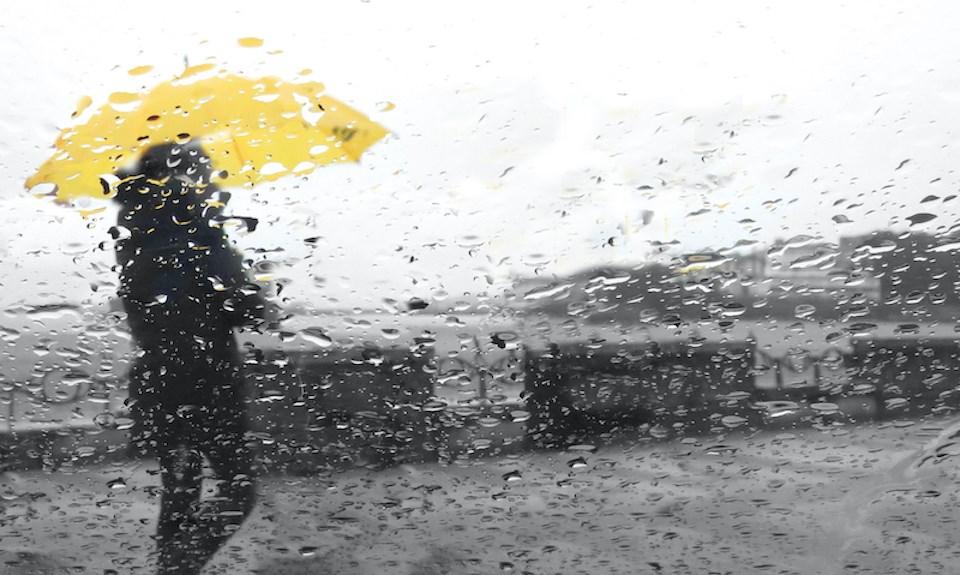
It's looking like the Lower Mainland might not see a break from the rainy weather for the next week or longer.
Environment Canada Meteorologist Armel Castellan told V.I.A. that a "parade of storms" will bring ample amounts of rainfall to the southern B.C. coast over several days, noting that Metro Vancouverites might not see a dry day until Feb. 10. That said, the rainy pattern could continue past that point, as precipitation is more difficult to forecast further out.
"From tonight (Feb. 2) right through to Wednesday you'll probably see some [raindrops] every single day and in some cases more," he said.
An unsettled or "active" atmosphere over the northeastern Pacific Ocean is driving the stormy pattern locally. These rain events are "going to be cyclical" and will take place every day or every couple of days over the next week, Castellan explained.
Metro Vancouver weather forecast
While the department previously called for a colder-than-average February, the start of the month will actually see temperatures slightly above average, with including as high as 7 C or 8 C overnight, noted Castellan.
"The first week no question [will be] warmer than seasonal but wetter. And then after that, it turns actually to a colder signal again or maybe a near normal week," he said.
Environment Canada will also continue to update its daily Vancouver weather forecast to reflect the current changes to the stormy pattern.


