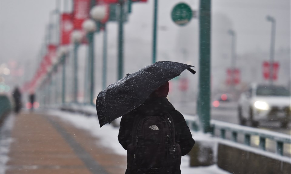
Environment Canada is expecting more snow in Metro Vancouver today, March 1.
While it's the beginning of meteorological spring in Vancouver, it looks more like winter (so maybe the calendars aren't so far off this year). And more is forecast.
"A Pacific frontal system moving in from the north will spread mixed precipitation to the south coast tonight," states Environment Canada in a special weather statement issued this morning.
The statement notes the worst of the weather is expected starting this evening and will lighten up Thursday morning.
Most of the City of Vancouver will only get rain, adds the federal agency, but higher elevations in the city and region will likely see some snow, with up to 5 cm accumulating in some areas, especially North Vancouver.
Further east, in the Fraser Valley, more snow is expected, with up to 10 cm in Hope. And, heading north on the Sea-to-Sky corridor, 15 cm is predicted at higher elevations.
Environment Canada is warning drivers whether the snow sticks or not, as the roads will be slippery and visibility will be reduced.
In addition to the precipitation, winds gusting to 50 km are expected tonight. While temperatures are expected to hold steady around 2 C, it may feel cooler due to the wind and precipitation.


