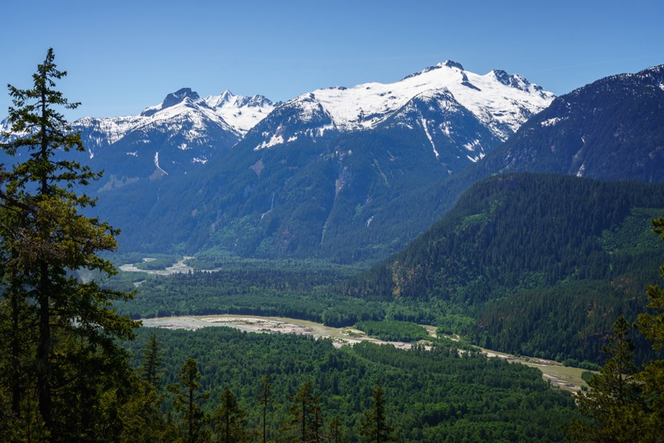
The last time the floodplain map for the upper Squamish River was updated was in 1983 — 35 years before a 2018 report.
Dale Muir and Todd Bennett, who worked on the report with Northwest Hydraulic Consultants Ltd., presented their findings to a group of around 25 community members in the Squamish Valley on Jan. 12.
“You folks who live in this valley know how dynamic that river is. You can see how dynamic it is just by driving over the Pilchuck Bridge,” Ryan Wainwright, the Squamish-Lillooet Regional District emergency program manager, said at the meeting.
The report took climate change and new hydraulic modeling techniques and technology into account as it examined floodplain and geomorphic hazards.
"What the geomorphologist did is they looked at the long-term trends and found that — not surprisingly — the channel's been migrating throughout the entire valley over many years,” Bennett said. “That risk still persists going into the future, such that pretty much the whole valley is potentially threatened by channel migration. Wherever you are in the valley, for the most part, there's that threat that the channel could eventually get to where you're located."
They also analyzed what could happen if a landslide blocked the channel, creating a water build-up until it bursts and causes a flood. There would probably be a couple of hours to prepare and evacuate, Muir said.
The SLRD notification system is the fastest way to be informed of a natural emergency, Wainwright said. The free system sends an alert through landlines and cell phones — although some people at the presentation raised concerns about lack of cell coverage in the valley and unreliable landlines.
Muir said the report could be used for development, zoning, building requirements, monitoring and emergency response planning. The report itself does not include recommended mitigation measures but could be used to determine some.
Wainwright said the SLRD emergency management team will use the report to look at evacuation plans for the area. How it will be applied to mitigation is complicated, he added, because of the small population size and the multi-million dollar project cost.
After the presentation, one of the community members asked if a gauge could be added higher upstream than the existing gauge in Brackendale. The Brackendale gauge was placed in the 1920s, discontinued for several decades before it was monitored again from the ‘50s onward.
Those who asked about mitigating their property themselves were told to contact their elected officials for more specific advice.
"My big takeaway from this is education, just be aware of the potential dangers that are here. It's a beautiful place to be, it's hard to beat this, but you do want to be informed. You want to be educated about what are the potential impacts," Bennett said.
The full report can be found on www.slrd.bc.ca.


