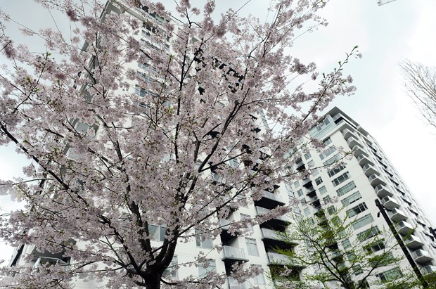
The pink clouds of cherry blossoms and magnolia buds that signal spring are already out in North Shore gardens and along city streets.
Officially, the spring equinox arrives this weekend at 9:30 p.m. Saturday night (most calendars list it as arriving shortly after midnight Sunday, but that’s 12:30 a.m. EDT.)
But both gardeners and meteorologists have noted an earlier start to warm temperatures this year. Flowering trees are in blossom about two weeks ahead of schedule, said Ineke Milligan, manager of Dykhof Nurseries in North Vancouver.
For that, we can probably thank El Nino.
This winter tied for the strongest El Nino year on record, said Lisa Coldwells, meteorologist at Environment Canada. That resulted in average winter temperatures of 1.6 degrees Celsius above normal for the Lower Mainland. The weather pattern was most evident last month, in February, when average temperatures in the Vancouver area were 2.3 degrees above normal, at 7.2 ºC.
In West Vancouver, that average was even higher, at 7.5 ºC. The highest temperature last month on the North Shore was a balmy 16 degrees, which happened relatively early – Feb. 9.
Globally, scientists have pointed to February as one of the warmest on record, compared to its historical average, particularly in the northern hemisphere.
“It was a warm month,” said Coldwells.
Make that warm and wet. No, you didn’t imagine it. Rainfall on the North Shore this winter was above average – slightly. A total of 900 millimeters fell between December and February – slightly more than the historical average amount of 832 mm.
The influence of El Nino meant no snow fell at lower elevation this winter although temperatures higher up still managed to bring snow to the mountains – good news for both ski hills and water managers.
Overall, the snowpack is very close to normal this year, said Coldwells.
El Nino is expected to keep average temperatures slightly above normal for the next three months, said Coldwells.
That doesn’t mean gardeners should race out and try to get a big head start on the growing season, warn both Milligan and Emily Jubenvill, manager of North Vancouver’s Edible Garden Project.
Annual plants like vegetables stressed by temperature swings in the early part of the season might bolt early, said Jubenvill.
Seeds started early in spring also need a grow light, said Milligan, “or they’ll get all long and leggy.”
Some good news for gardeners – so far there are no early signs that an intensely hot dry summer is ahead. Much of last year’s record-breaking drought was influenced by a large mass of warm water in the Pacific, nicknamed “The Blob” by meteorologists. “The Blob broke up in the fall,” said Coldwells.
By summer, the influence of El Nino usually wanes and so far, weather patterns look normal, she said.
Historically, El Nino winters are often followed by La Nina years, she added – where temperatures tend to be colder than normal. Indications of whether that’s likely – based on water temperatures in the Pacific – will be clearer in late summer to early fall, she said.


