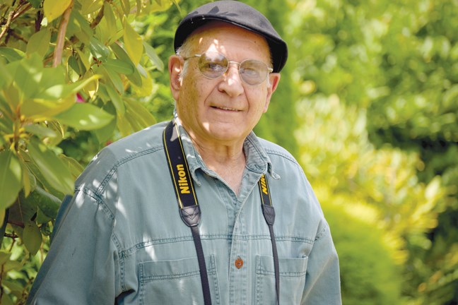
When Christine Elsey was a kid growing up on Riverside Drive in the Seymour area, she remembers the “greasers” coming from Vancouver to the canyon at the top of the road.
They wore ducktail hairdos and drove hot rods with their engines showing. They would swim and dive off the cliffs at the canyon.
“And we’d all be mesmerized because that would be a bit of the city coming to us,” recalls Elsey with a laugh.
The canyon was a popular spot for families at the time, and kids and parents often met for picnics and swimming. Elsey refers to her neighbourhood as an idyllic place to grow up.
“It was a very magical place,” she says.
The area was rural, with few residents, and there was an emphasis on poultry and subsistence farms. Elsey describes the area then as working class.
There was a man who delivered vegetables and another one who delivered milk. The family had an icebox, and an ice man delivered big blocks of ice. There were also three small stores fairly close by for daily essentials, and a Safeway on Lonsdale Avenue (reached by bus that ran just twice a day for more supplies. The area also hosted what Elsey calls a handful of rustics, eccentrics, and artists that really made the character of the area.
One such person was Owen Dinsdale. A former teacher from Wales, he lived on a six-acre property and was “kind of an off-the-grid guy.” He grew his own food and was friends with all the kids. He often took them for long nature walks up in the Seymour canyon, which is now the watershed area, and taught them about ecology, naturopathy, animals and more.
“He was a very important fixture in all the kids’ lives and everybody that was there, and I think he should be remembered,” says Elsey.
Now 62, Elsey lives in Deep Cove, but her parents still live on Riverside Drive and she raised her kids there. These days, her childhood reflections are bittersweet.
“There were magical woods everywhere. Very few houses, and it was a lot of swamps inside the forest and we all played in those. There were a lot of skunk cabbages and a lot of moss and a lot of old stumps and trees, and it was just a wonderful forest.”
But when she was 19 Elsey wrote a poem about her neighbourhood because she was heartbroken. She says there was an influx of development into the area starting in the early 1970s. Lots got smaller and subdivisions grew.
“The character of the place has been changed and it has become urbanized,” she notes. It is still a topic that upsets her.
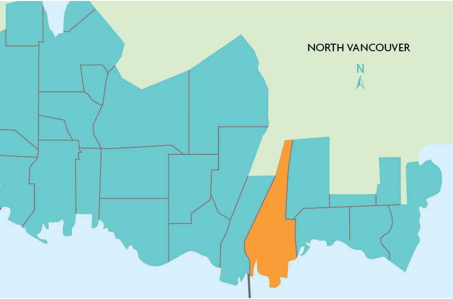
Seymour spans a large area of the District of North Vancouver from Seymour river to the west, Mount Seymour Parkway to the south, Mount Seymour Road to the east, and the Lower Seymour Conservation Reserve and Mount Seymour Provincial Park to the north.

Some have referred to the area as “old school” North Shore, with lush, tree-lined streets. Parkgate serves as a community hub with a community centre, seniors centre, library, and Parkgate Village Shopping Centre. Described as a family-oriented area, Seymour has many subdivisions, and is home to two golf courses (Northlands, which is public, and Seymour Golf and Country Club, which is private).
Access points to trail networks dot the upper regions, making it popular with mountain bikers, trail runners, and other users, and skiing has been a fixture on Mount Seymour since the early 1930s.
The Seymour area experienced tragedy on Jan. 19, 2005, when a landslide on the Berkley-Riverside escarpment resulted in the death of resident Eliza Kuttner. Her husband Michael was seriously injured, and a number of homes were damaged.
Just to the south of Mount Seymour Parkway lies the area of Maplewood. Currently known for its business parks, strip malls, and light industry, change is expected in the next 10 years.
Recently, the district decided to move forward with public input about a new hub for residential and employment growth in Maplewood Village Centre. A previous North Shore News story noted that the area consists of 35 hectares of land between Mount Seymour Parkway and Dollarton highway, and is expected to hold another 1,500 housing units and 100,000 square feet of commercial space over the next 20 years.
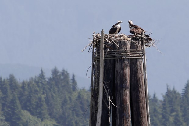
An interesting mix of industry and ecology, this section of the North Shore also features Maplewood Flats Conservation Area and Maplewood Farm.

The Dollarton waterfront also has an interesting history having previously been dotted with squatters shacks, and featuring a thriving counterculture of artists that started in the early 1970s on the Maplewood mudflats and adjacent areas.
During the 1930s and ’40s, about 1,000 people lived along the shore in squatter communities. Most of the cabins were destroyed in the 1950s. The last cabin, located near Cates Park, where artists Al Neil and Carole Itter drew their inspiration, was moved to a storage site in late June of this year after a group of artists rallied to save it.
Nestled in between Seymour, Maplewood, and Deep Cove lies territory of the Tsleil-Waututh Nation. Members of the larger group of Coast Salish people, they are the original inhabitants of the area covering all three districts.
Contact Rosalind Duane at [email protected].


