Mother Nature has stormy plans for the Lower Mainland this weekend, although torrential rain isn't expected.
A chance of thunderstorms, wet snowfall at high elevations, and persistent instability are all in the cards heading in the weekend, according to Environment Canada Meteorologist Derek Lee.
The climate expert says the region has experienced unsettled conditions over the past couple of days. On Thursday, March 13, pockets of Metro Vancouver experienced hail and other areas heavy rain while many had blazing sunshine with clouds later on.
"It was so localized," he explains, noting that a similar trend is expected to continue through the weekend, with highly localized weather in select areas.
A fairly weak system will move into the region on Saturday morning around 4 or 5 a.m., producing 5 to 15 mm of precipitation. However, upper atmosphere temperatures are expected to be "quite cool," opening up a possibility for snowfall at places at 500 metres and above. Trace snowfall amounts up to 2 cm are possible until the early afternoon.
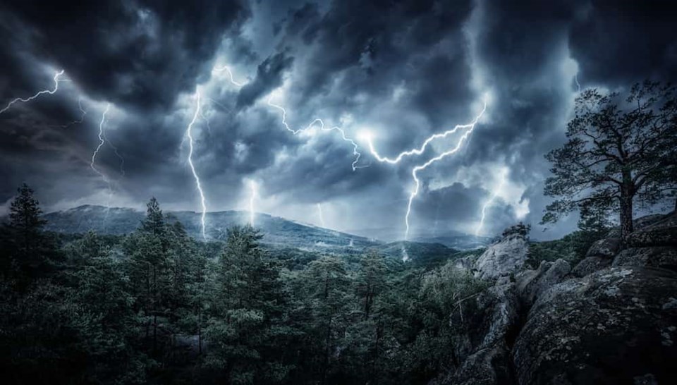
Winds of 30 km/h gusting up to 50 km/h are expected to follow the storm, with an unstable airmass following the weak precipitation system. As the skies clear in the afternoon, some daytime warming may produce a risk of thunderstorms. Warmer air on the ground and unsettled conditions is a trigger for thunderstorms.
Metro Vancouver weather forecast includes more showers heading into next week
Showers are expected to continue on and off through Sunday night but significant rainfall isn't expected.
"There's a 30 per cent chance of showers on Monday but a good clearing trend is expected on Tuesday," he says, noting that a ridge of high pressure will replace the unsettled conditions.
Rain is possible again on Wednesday but the department isn't settled on exactly how next week will play out. However, temperatures on Thursday and Friday may increase a degree or two.
The National Oceanic and Atmospheric Administration's (NOAA) Climate Prediction Centre released its latest evaluation of ocean temperatures in the equatorial Pacific, which found that La Niña conditions remain present. However, it is expected to transition in April to neutral conditions (neither El Niño or La Niña is present).
While La Niña may mildly impact the Lower Mainland, it was characterized as "weak" this year. Lee says its impacts were and will likely continue to be negligible.
Stay up-to-date with hyperlocal forecasts across 50 neighbourhoods in the Lower Mainland with V.I.A.'s Weatherhood.


