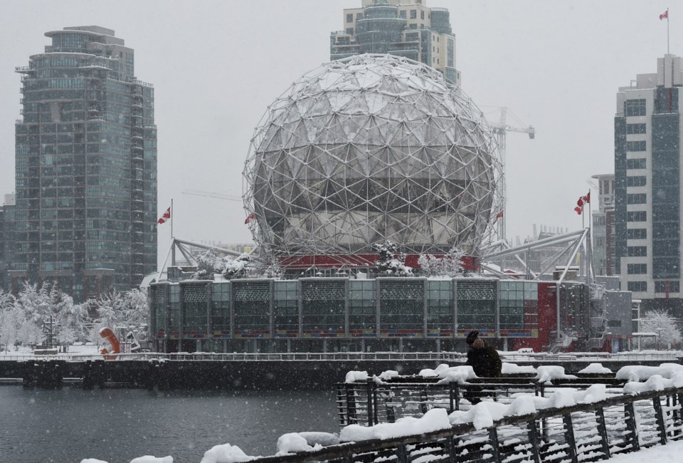
Metro Vancouverites might have to brace for extraordinarily bone-chilling temperatures following the first snowfall of the winter.
The Metro Vancouver weather forecast includes up to 30 cm of snowfall as a cold blast of Arctic Air class with a moist Pacific air mass starting on Sunday, Feb. 2 and continuing into Monday.
Following the snow event, Environment Canada Meteorologist Alyssa Charbonneau tells V.I.A. temperatures are expected to continue dropping the region, with Monday's overnight low falling several degrees below the seasonal average.
Monday's forecast currently includes an overnight low of -5 C and the seasonal average is 1 C.
Temperatures are expected to continue cooling through Tuesday, with the lowest temperature of the week expected overnight at a frigid -7 C.
The chilling overnight lows may feel significantly cooler thanks to strong Arctic outflow winds from the Fraser Valley. Charbonneau warns the wind chill could make temperatures feel as cold as -10 C or -15 C.
Metro Vancouver weather forecast could include up to 30 cm of snow
If the Lower Mainland receives ample snowfall on Sunday and Monday, the chilling Arctic air will ensure it doesn't melt anytime soon.
A ridge of high pressure is expected to replace the moist Pacific air mass after Monday, keeping conditions bone-dry and unseasonably cool for several days.
"Tuesday onward, we are going to see a cold air mass that will be dry and we will likely see the chance of snow diminish," she noted.
Tuesday through at least Thursday's forecast includes a mix of sun and cloud and temperatures up to 10 degrees below the seasonal average.
Charbonneau advises that warnings will be issued as necessary and locals should regularly check the forecast for updates.
Stay up-to-date with hyperlocal forecasts across 50 neighbourhoods in the Lower Mainland with V.I.A.'s Weatherhood.


