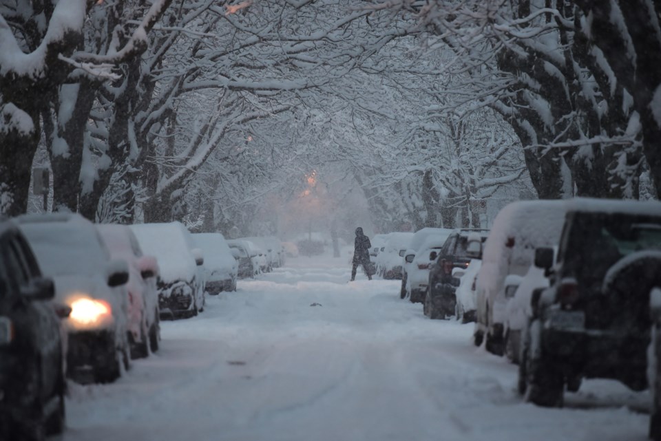
Another snowy weekend may be in the cards for Lower Mainland residents.
Environment Canada forecasts multiple opportunities for flurries as a low-pressure system brings moisture into the region overnight Friday, Feb.7 and again Saturday night into Sunday.
Meteorologist Alyssa Charbonneau said lingering Arctic Air continues to produce temperatures up to -10 C below seasonal averages, with Vancouver International Airport's (YVR) weather station recording a low of -8.5 C early Friday morning.
Flurries are expected to start falling in the region late on Friday night around midnight.
"This system looks a little less snowy. There's way less moisture in the area," Charbonneau tells V.I.A. "Vancouver Island will see more of the snow but we could see local accumulations of up to 2 cm - but it won't be widespread."
Saturday morning and afternoon are expected to be mostly dry but bands of moisture could produce flurries in some areas. Heavier flurries are expected to pick up Saturday night and continue through Sunday morning.
"It's going to be a situation with isolated flurries," she notes, adding that western parts of Metro Vancouver could see accumulations of up to 2 cm. "Eastern areas won't see as much."
Flurries could continue Sunday during the day and ease heading into the night.
"On Sunday we have a change. Cold Arctic air will remain in place at the start of next week but it [is expected] to be dry," she explains, adding that Monday and Tuesday's forecast include a mix of sun and cloud with frigid lows.
Metro Vancouver weather forecast includes more opportunities for snowfall
Locals might not be out of the snowy woods following this weekend's frosty moments.
While the start of next week is expected to be dry, a system moving into the region in the latter part of the week may produce moisture. Currently, the forecast includes a chance of showers on Thursday. However, precipitation may fall as flurries or snow, Charbonneau explains.
"I would not rule out snow at this time until the cold airmass moves out," she comments, adding that it depends on the storm's timing.
"If [the storm] starts early in the morning, temperatures could be very low [and precipitation could fall as flurries or snow]."
The meteorologist advises locals to continue using the same cold weather safety precautions outside, particularly with overnight temperatures plunging at the start of next week.
"We are not expecting a big warm-up. Stay tuned to the forecast."
Stay up-to-date with hyperlocal forecasts across 50 neighbourhoods in the Lower Mainland with V.I.A.'s Weatherhood.


