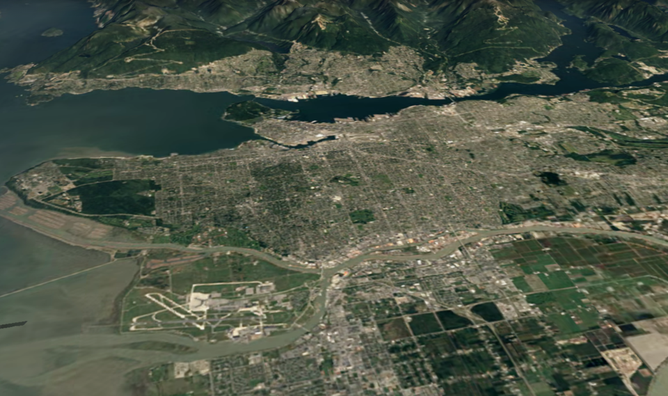
A new feature of Google Earth allows a little bit of time travel.
The interactive map now has a timelapse feature, allowing people to see what cities looked like (from the perspective of a satellite) each year from 1984 to 2020. Users can watch neighbourhoods grow, logging and buildings like Rogers Arena appear.
Google took 24 million satellite photos and stitched them together to create the ever-changing map. It can switch between 2D and 3D mode as well, which creates an interesting viewing experience.
Now anyone can watch time unfold and witness nearly four decades of planetary change," states Rebecca Moore, the director of Google Earth, Earth Engine & Outreach. "Our planet has seen rapid environmental change in the past half-century — more than any other point in human history."
Along with watching Vancouver and the Lower Mainland change, people can explore any corner of the world. Google has created a list of some places that work well with the feature.
While the resolution doesn't allow people to get super close, the spread of development and farms is evident, along with a variety of environmental phenomena, like shrinking glaciers.


