This column is dedicated to celebrating outdoor recreation in the Seymour area. For July, we learn about an easy hike along the lower slopes of Mount Seymour, from Deep Cove resident Norm Watt.
Bridle Path is a short (just over an hour) ramble that is dog-friendly and suitable for families with children. It takes you from the trailhead at Hyannis Drive along the lower slopes of Mount Seymour, with a loop back to Hyannis along the Northlands Golf Course and Blair Range trails. From Mount Seymour Parkway, turn up Berkley Road. The trails in this area are popular with both hikers and mountain bikers.
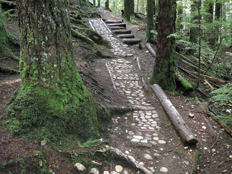
Begin by taking the Hyannis Connector trail at the west end of Hyannis. Follow it north for 10 to 15 minutes to a signposted junction with the Bridle Path, where you turn right, go up a short hill and then along a winding boardwalk.
After 15 to 20 minutes you come to Canyon Creek. Just across the bridge there is a junction with the Baden-Powell trail. Continue straight ahead for about 70 metres, turning right at the T-junction for the Bridle Path while the BP goes left (see detailed trail map at the kiosk).
You pass other trail intersections along the way, but watch for occasional red metal Bridle Path signs on the trees. About 10 minutes from the BP junction, you come to a fork in the trail with ribbons on the tree in the centre. The Bridle Path continues to the right, but you may choose to go left on the aptly named Cardiac Bypass, saving yourself a few minutes and a little elevation gain.
The Cardiac Bypass rejoins the Bridle Path just before the next footbridge, over McCartney Creek.
About 25 to 30 minutes from the BP junction you see the Northlands Golf Course through the trees on your right and a chain-link fence ahead.
Go downhill and to the right on the Golf Course Trail, following it alongside the golf course for about five minutes to a large boulder outcropping on your right.
Take this trail back into the woods, staying to the left at the first junction and right at the next two, to go roughly northwest for a couple of minutes.
The woods start to open up now, marking the beginning of the Blair Range area, once used as a military rifle range. As you curve to the west along the flat Blair Range Trail, you cross the first of three small streams, which may require using a fallen log as a handhold, depending on water runoff levels.
Other smaller trails branch off, but continue straight ahead and west on the main trail.
Soon you see an opening in the trees ahead, where the trail emerges onto a lane just beyond the chain-link fence. Turn right here for a short uphill path to the east end of Hyannis, and walk back to your car.


